Cases

Selected projects

We have undertaken data center and information platform projects for the Ministry of Science and Technology, the Chinese Academy of Sciences and local governments, covering scientific data, ecological monitoring, urban management and emergency response.

01National Tibetan Plateau Data Center interface

National scientific data center

National Tibetan Plateau Data Center

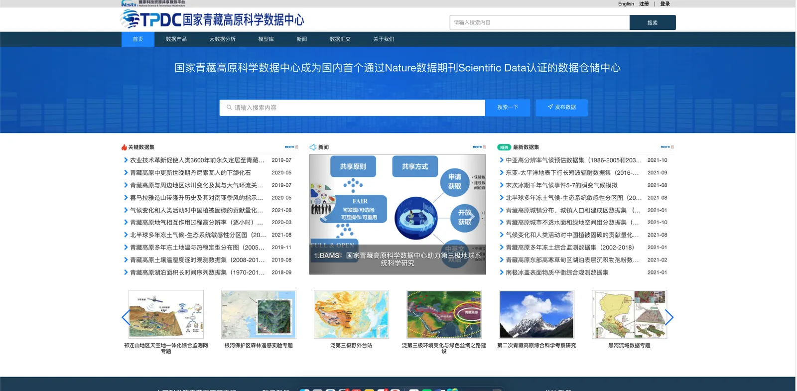
A national scientific data center serving the Tibetan Plateau and Pan-Third Pole region, with data publication, large-scale analysis, model libraries and data submission services for research data sharing and reuse.
02Three-Pole Environment Big Data Platform interface

CAS Strategic Priority Research Program

Three-Pole Environment Big Data Platform

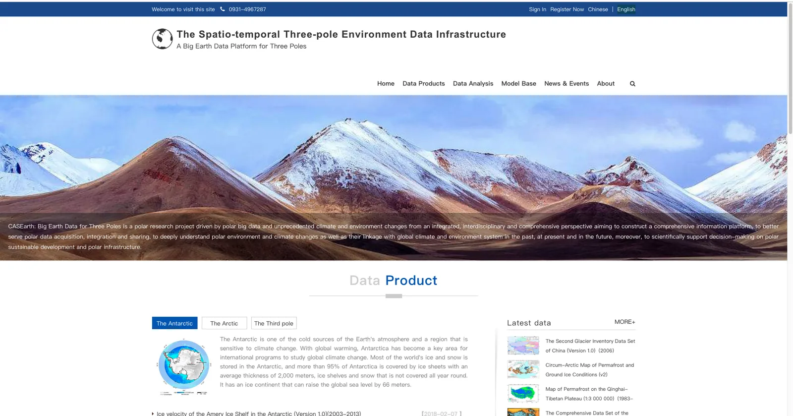
Developed under the CAS Big Earth Data Science Engineering project, this platform supports the acquisition, integration and sharing of environmental data for Antarctica, the Arctic and the Third Pole.

03National Cryosphere Desert Data Center interface

National scientific data center

National Cryosphere Desert Data Center

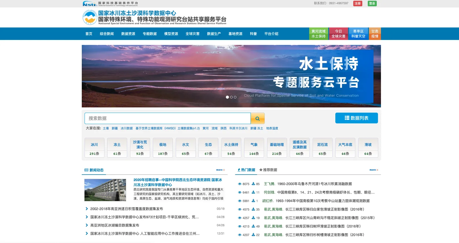
A shared service platform for observation and research stations in distinctive environments, covering glaciers, permafrost, deserts and desertification, polar science, hydrology and ecology.

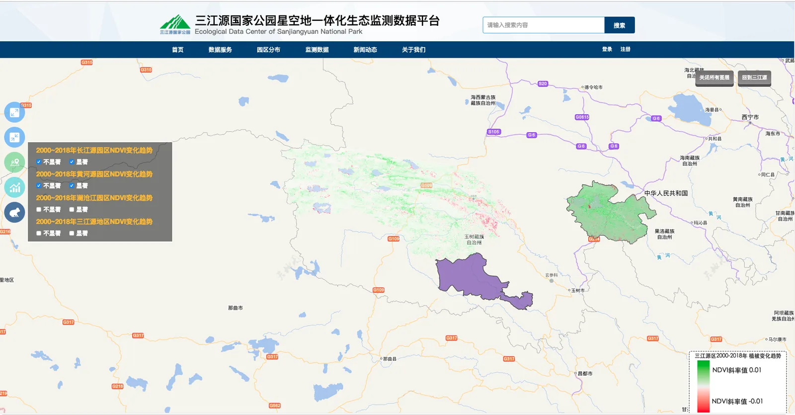
04Sanjiangyuan National Park ecological monitoring platform interface

Ecological monitoring

Integrated Ecological Monitoring Platform for Sanjiangyuan National Park

Integrates satellite, airborne and ground observations to support spatial queries, vegetation-index trend analysis and ecological assessment across the park.

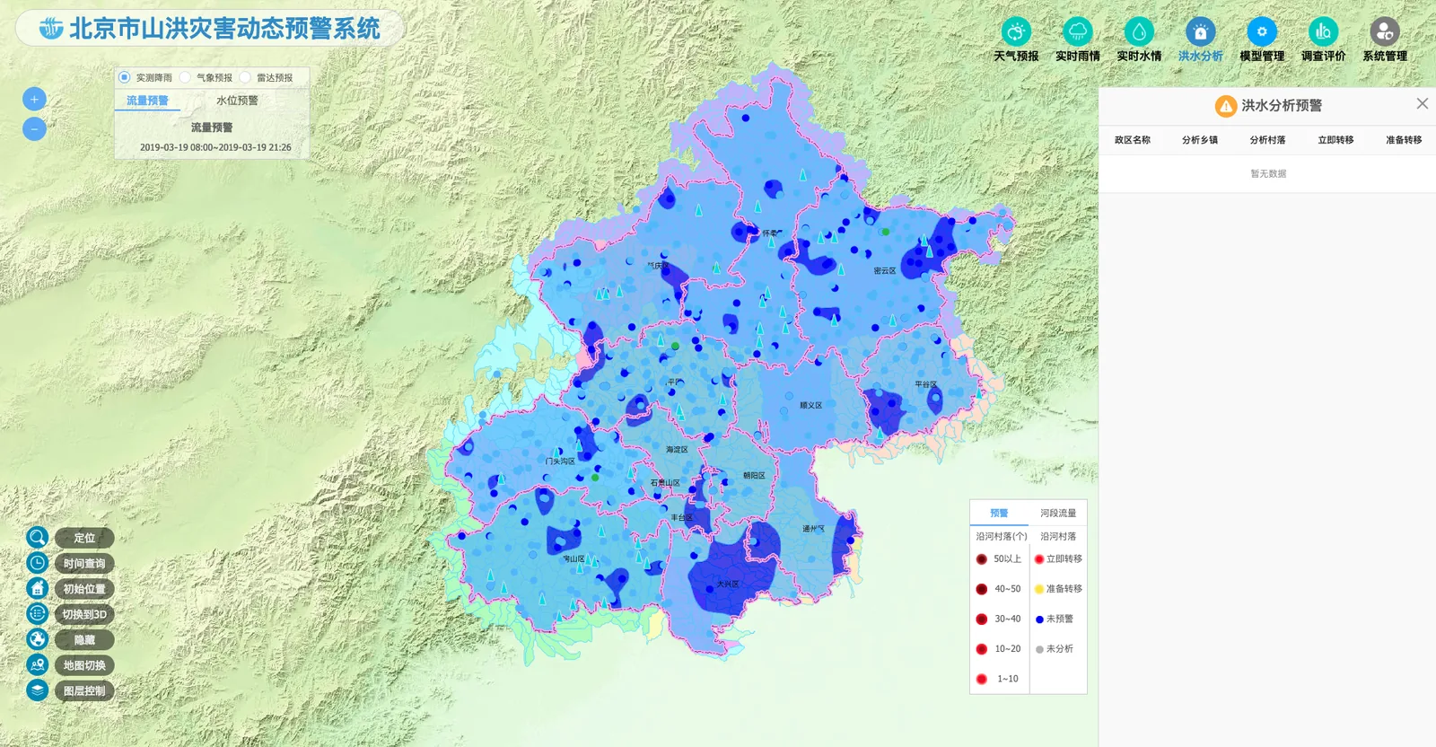
05Beijing Flash Flood Early Warning System interface

Early warning

Beijing Flash Flood Early Warning System

Combines weather forecasts with real-time rainfall and hydrological data for flow and water-level warnings, flood analysis and decision support for evacuation readiness in towns and villages.

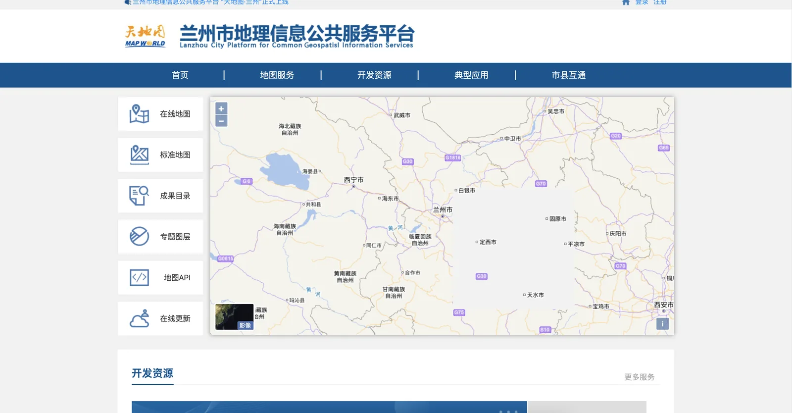
06Lanzhou public geospatial services platform interface

Public geospatial services

Lanzhou Geospatial Information Platform (Tianditu Lanzhou)

Provides online and standard maps, geospatial product catalogs, thematic layers and map APIs, supporting city-county interoperability and government geospatial applications.

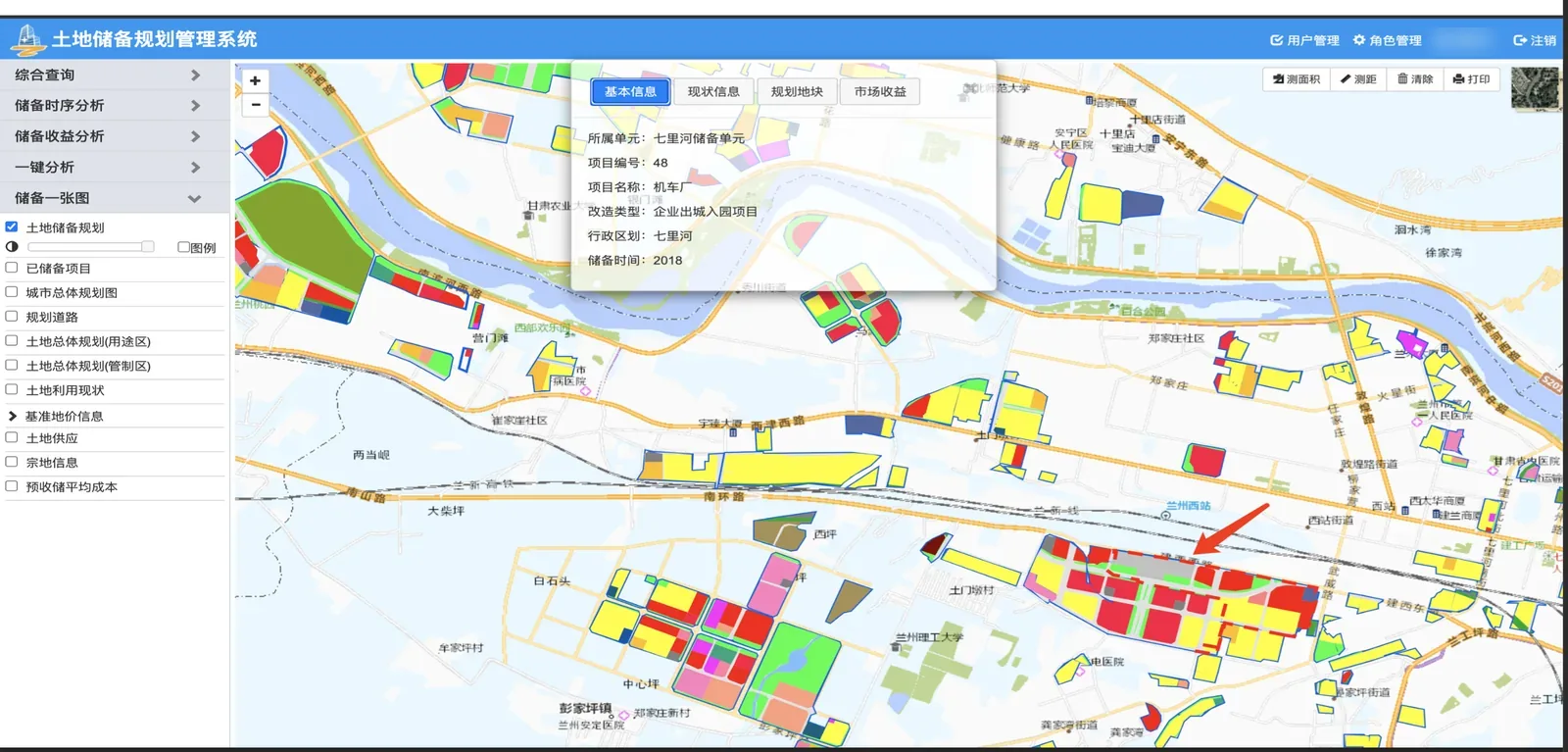
07Lanzhou Land Reserve Planning and Management System interface

Land-use planning

Lanzhou Land Reserve Planning and Management System

A unified map-based land reserve management system with integrated queries, timing and revenue analysis, bringing together master plans, zoning and current land-use layers.

08Hazardous materials transport monitoring interface

Emergency response

Unified GIS Command System for Hazardous Materials Transport

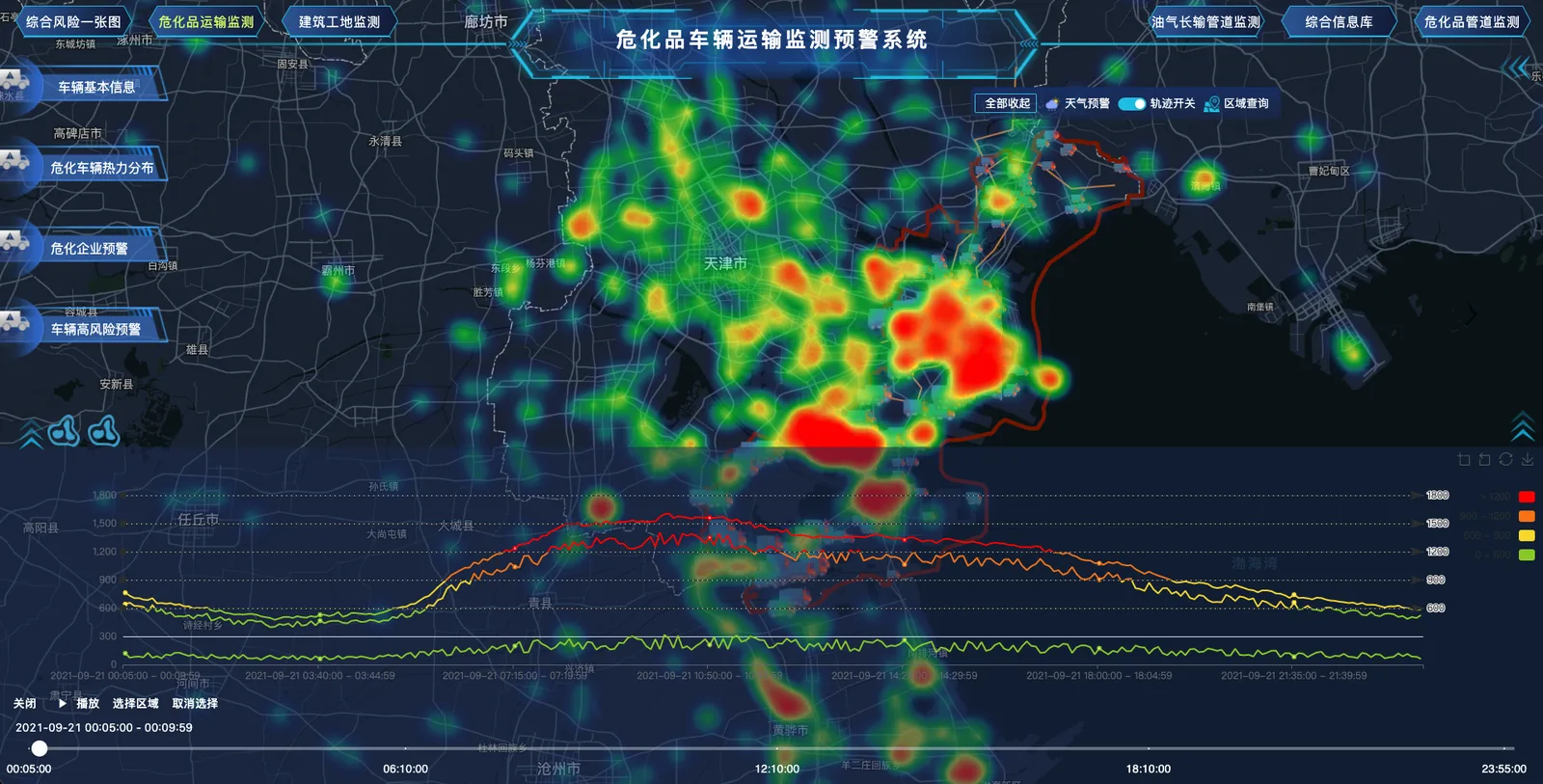
A unified map-based command system for hazardous materials transport oversight, with vehicle heatmaps, enterprise alerts, high-risk vehicle warnings and oil and gas pipeline monitoring.